Gallery
Handmade, start to finish
Every AeroGlow is built by hand — drilled, wired, and tested. Your map arrives ready to hang.
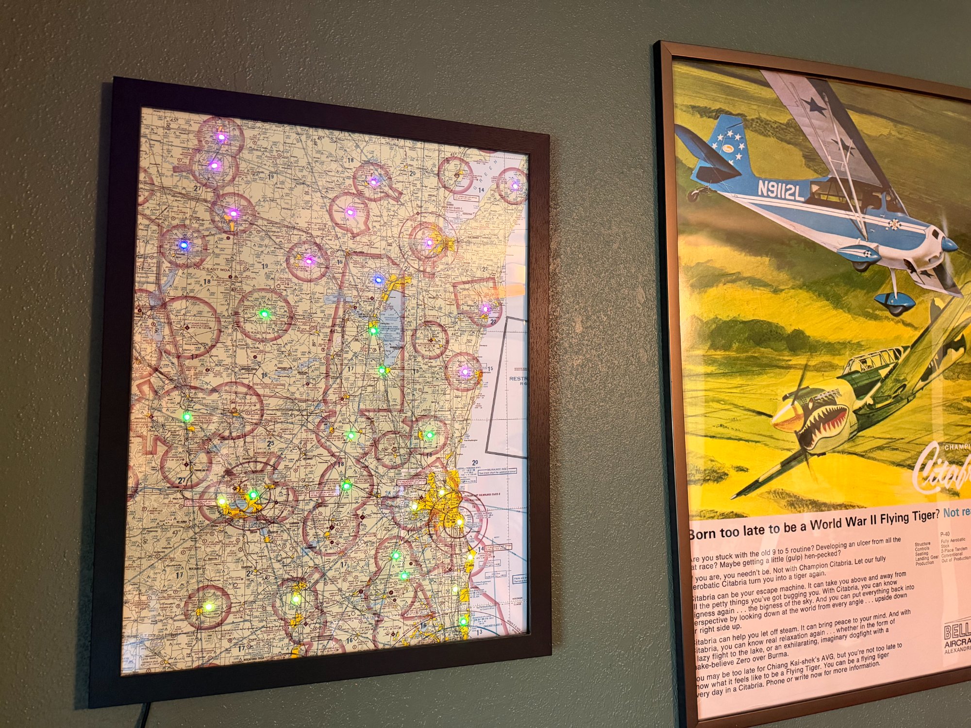
Southeastern Wisconsin · 33 LEDs · Walnut frame
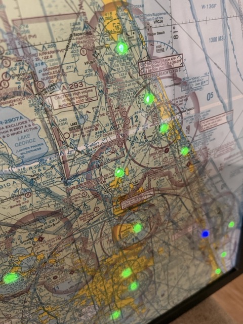
Mid-Central Florida · Live METAR conditions
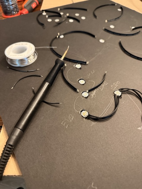
Built by hand — every LED wired and soldered individually